England’s Deepest Lake, Great Gable, PSALM 121,The Black Sail Hut, Rice Pudding and Porridge for Breakfast.

Post 84: 28 March 1994: The Cumberland Way, Day 2 – Wastwater Youth Hostel to Buttermere Youth Hostel – 11¼ miles

It was damp and wet as we left the hostel to follow the quiet lane along Wastwater towards Wasdale. Wastwater is England’s deepest ‘lake’ at 74 metres, 243 feet.

p1050096
Wastwater with Great Gable just above my head.

Our expectations increased as we headed towards the symbol of the Lake District National Park, Great Gable, the distinctive triangular shape dominating the head of the valley. We arrived at Wasdale Head, a Mecca for walkers and climbers, the focal point being the Wasdale Head Inn.

We decided to have a break in the inn, but, with the energetic prospect of climbing the Black Sail Pass, stuck to coffee. The nearby church is a sombre place as within the grounds are a number of graves of climbers who have died on the surrounding mountains. However, within one of the windows is the following inscription:

I WILL LIFT UP MINE EYES

UNTO THE HILLS

FROM WHENCE

COMETH MY

STRENGTH

It is taken from PSALM 121, which is my favourite.

The climb up the Black Sail Pass seemed long, especially as we were heading into mist. On reaching the top, then descending a little way, the mist cleared and we stopped for snacks, soup and a sandwich.

p1050105
Walkers crossing the River Liza with Great Gable in the background

As we arrived at the Black Sail Hut Youth Hostel, some walkers doing Wainwright’s Coast to Coast walk had stopped to attend to their blisters. Dan was now an expert and offered advice.

non-stag-do-016_edited-1
The Black Sail Hut
p1050101
The Black Sail Hut from the rear
p1050104
Inside the Black Sail Hut
p1050098
Boots and skulls hang from the ceiling.
p1050109
Great Gable

I was to return to the Black Sail Hut some years later for my 50th birthday celebrations (yes my choice) but that is a whole new story to be told later in the diaries. Just enough to say at this stage that when the sheep came inside for the curry it got very surreal!

Leaving the hostel we were very tempted to visit Wainwright’s resting place on Haystacks, but by the time we had climbed to the top of Scarth Gap our energy had gone. Instead we decided to head to Buttermere in search of another Cumberland sausage.

Arriving at the hostel at 4.00pm, we were delighted to find Cumberland sausage on the menu. This was followed by rice pudding and, after Dan had consumed two helpings, he suggested to the warden that the remainder be served up at breakfast. The warden duly obliged and Dan had rice pudding and porridge for breakfast! Dan was living up to his reputation. The calories are certainly used up on a long-distance walk.

TOP SECRET, The Loss of WV, Who is the Mug. Where’s Sid?

Post 83: Cleveland Circles 7 28/11/2016

TOP SECRET (WELL THIS IS THE SECRET DIARIES.) 

After much drooling over maps (yes I do drool) Sid and myself finally came up with a secret route on how to avoid the traffic jams around the northern ring road around York, so as to get to the start of our walks without delay. Basically, Grimston Bar Roundabout, Hopgrove Roundabout, Haxby Roundabout, left at Sutton-on-Forest, Huby then onto the A19 heading north to the North York Moors western and northern side. 1 hour to Nether Silton the start of our walk. But don’t tell anyone it is a secret and we don’t want it to get busy. 

It is with much sadness and regret that I have to announce the loss of WV. Now WV has been a constant companion for about thirty years and has done three coast to coasts with me, three Yorkshire Three Peaks, forty-nine long distance walks and numerous other walks. Having decided that the washing up treatment was necessary last week, after it, today, I found that the main backbone failed and that there was no alternative to termination, the end and the scrap heap. Everybody and everything comes to the end of their useful life.

Yes my Rohan Wild Vest (body warmer) main zip had irretrievably failed beyond repair. As it was about thirty years old I decided I couldn’t take it back under the guarantee.

p1050157

However, don’t despair I have a Rohan Nightfall Vest (goose down), which will immediately replace it so my core does not get cold on the Moors.Basically, if your core gets cold you are dead.

But it was a sad loss after so many years of loyal service.

Starting our walk at Nether Silton at 8.45am we soon came across the first mug. Yes there were two mugs on this walk. It was none other than a Royal Doulton 2007 mug in perfect condition by the roadside. Sid, who is not one for missing a bargain, decided that this was one not to missed and it was quickly strapped to his rucksack. We tried to find a police station to hand it into lost property but they are few and far between in these parts. The last time we saw policeman was when we went through Menwith Hill taking photographs (oops – not a good idea). Apparently the latter is one of the ten most difficult places in the world to gain access to. Anyway if anyone is the owner of the mug can they please contact me and we will ensure its return to the rightful owner.

p1050116

It was a cool lovely morning as we started to climb from Nab farm (shown) to Kepwick Moor.

p1050118

p1050121

Striding out across the Moors along the Cleveland Way we were surprised to see another walker. It turned out that she was European living in this country, loved ‘fell walking’, had done the Yorkshire Three Peaks , and found Yorkshire particularly attractive and, after a twenty minute chat, including deciding that without the politicians we could sort out the BREXIT arrangements, we went our separate ways. However, definitely a kindred spirit.

We continued to follow the Cleveland Way to Square Corner where cars can park.

p1050122

After lunch and the only two other walkers we met all day passing us, we left the Cleveland Way near Osmotherley for a long stretch of forest walking.

We came across a hanging rock, The Yorkshire Moors Trolltunga (Troll tongue), and this was where another mug appeared. Sid the Yorkshire Mug.

img_0961

See the slideshow below as to what this mug gets up to!!! Like most mugs they don’t always realise they could fall off and break. There is a big gap between the hanging rock and the hillside. It is easier to go up than come down.

This slideshow requires JavaScript.

Having survived his little escapade it was time to send Sid back to school and write 50 lines ‘I will not climb rocks or trees.’

p1050141

Arriving at Over Silton we thought we would explore the church not realising it was about half a mile from the village across rough grassland.

p1050142

No wonder one of the Vicars used to come on horseback and stable the horses in the little building on the left. There is a mounting block on the right.

p1050149

The church is 12th century and Grade II listed as are some of the gravestones. The roof beams came from old ships’ timbers at Hartlepool.

p1050147

The font is 12th century too.

p1050145

We continued to Nether Silton Church where at the rear is a stone with the translated inscription of:

Here The Grand Manor Old Manor House Stood

The Black Beams Were Oak

The Great Walls Were Good

The Walls at the East Wing Are Hidden Here

A Thatched Cottage Like A Barn Was Here Erected Year  A.D. 1765

A Wide Porch Spans A Yard and Alcove

p1050151

Inside the church the alter rails are made from wood taken from HMS Dreadnought, the training ship of the era of Lord Nelson.

p1050152

Finally, the end of an enjoyable walk.

p1050153

And back home on our Secret Route.

PS Shh…….don’t tell anyone. We  don’t want it getting too busy.

Miles Walked 10.91

Calories Burnt 1500

Average Speed 3.1 mph

Maximum Speed 5.2mph. 

Fastest Split 6-8 miles 3.3 mph. 

Height Gain 1416 

Steps Taken 23,868

A Slip on a Cowpat, the Belted Galloways (not George)

Post 82: Cleveland Circles 6: 24/11/2016

In order to try and beat early morning traffic congestion on the York northern ring road, we decided to leave at 7.30am. However, it was already starting to get congested as we approached the Haxby roundabout. We decided therefore to cut across country. It was disappointing that in the Autumn Statement the dualing of the ring road was not included in various road improvements. Such cross country routes will only work whilst the roads remain ice free.

We arrived at Kepwick at about 8.45 and started walking at 9.10pm.

After chatting to a farmer about a memorial on the hill to our right as we left Kepwick; it turns out it that it was erected in memory by the Warner family for their only son who was shot down in World War I.

Soon after, Sid slipped on a cowpat, but miraculously did not land in it. He got up so quick there was no time to get a photograph.

I then found that the tie on one of my map cases had come loose and my guide book was no longer with me. I had to retrace my steps through at least two fields to find it. It was going to be one of those days.

Arriving at Cowesby, the public right of way by the church was blocked with overgrown vegetation. Yes definitely one of those days. We clambered over a gap in the church wall to go past the church.  Yes one of those days.

We then stated a long ascent along a very narrow muddy path that was energy sapping. I was not fully recovered from a cold and my legs started to protest.  We walked around Gallow Hill and with a name like that one wonders what used to go on there.

However, long views soon opened up before us along the edge of Boltby Forest and snow could be seen on the Yorkshire Dales hills in the distance.

p1050072

We arrived at the Cleveland Way sign and the Arden/Hawnby Estate on the Moors.

p1050073

A fairly new sign had been erected to commemorate Limekiln House Inn. It was an important staging point on the long drove road south from Scotland. Cattle were often rested here often as many as 100-300. The drovers would do 9-12 miles per day. It must have been harsh on this open moorland in winter. There are the remains of a limestone quarry in this area. The limestone was taken to kilns lower down in the valley as we will see later on the walk.

p1050074

It is believed the building was mentioned in documentation as early as 1577. In 1841 census John Pearson was named as the publican. The railways were stating to reduce the need for the drove road. but it was not until 1897 that the Inn closed. There were a surprising number of Limekiln pubs around the country in the 1800s!

We then headed towards Arden Hall along a delightful valley. We soon stopped in trees as a shoot lay dead ahead across our path. There was no way we were going the way of the pheasants! We were surprised to find that many of the 4 wheel drive cars were from Holland and apparently they come to the area two to three times a year to shoot.

p1050075

A bench at Arden Hall near a stream made a sheltered and comfortable lunch stop, although not as comfortable as the shooters were having.  The beautifully proportioned 17th Century House is part of the Mexborough estate.

p1050076

After a long steep climb from Arden Hall we were well over half-way and back on the edge of the Moors with Belted Galloway cattle and the Plain of York in full view. Maybe their relatives came down the drove road from Scotland!

p1050077

We eventually came across one of the kilns that would have served the quarry reached earlier. Horse carriages carried the limestone to Kepwick.

p1050078

I arrived back at Kepwick feeling somewhat tired.

It had been a busy day on the walk – we had seen two other walkers!

Miles walked 12.58 

Calories burnt 1400

Average pace 19.44 minutes per mile

Fatest 2 mile split 18.57 10-12 miles. 

Steps taken 28,014


A New Walk – In Search of the Cumberland Sausage, Faulty Towers

Post 81: March 1994 – The Cumberland Way – in search of the Cumberland sausage, aged 42

After completing The North of England Way, I began looking for another route to devise and write about, this was to be On Foot from Settle to Hadrian’s Wall: Hadrian’s Way. However, I would not be ready to walk it in its entirety until the 1996; therefore I needed a walk for 1994. The 80 miles long Cumberland Way looked particularly attractive, the route going through the central mountainous Lakeland region of the old County of Cumberland, starting at Ravenglass and finishing at Appleby. Whereas mountaineer Chris Bonnington might go to the Himalayas in search of the Yeti, we were going to Cumbria in search of the Cumberland Sausage. Did it still exist in its original form when Cumberland was still a County, did it taste as good as rumoured, is it as long as reported, is it still readily available? Such questions could only be answered by mounting an expedition to the heart of Lakeland.

p1030834_6940_edited-1

The prospect of Cumberland sausages was too much for Dan to resist and he immediately signed up for the walk. Alf was desperate to experience Lakeland rain again and so signed up soon afterwards. Alan was also tempted by the prospects of mountain walking and joined the group. That was enough. If you have more than four walkers you become a rambling club; I don’t enjoy seeing the countryside in a crowd. Therefore, I will not generally walk with more than three others.

26 March 1994

Alf and myself arrived at Barrow station where we met Dan and Alan. In bright sunshine, the two-carriage train took us past Morecambe Bay Sands and Grange Sands to the west and the Lakeland fells to the north-east. We arrived at Ravenglass at 3.45pm, dropping our rucksacks off at a large hotel, our accommodation for the night. We were somewhat surprised, as we pointed out there were some missing light bulbs, a kettle that did not work, a bed not made, and a room not cleaned, the landlady attending said, ‘it’s a bit like Faulty Towers.’

In the evening, after a three mile walk to Hooker Crag to watch the sunset, we went to the Ratty Arms to locate and eat our first Cumberland sausage of the holiday.

The big 50_6748.jpg

27 March 1994: Day 1 – Ravenglass to Wastwater Youth Hostel – 11¾ miles

On a dry morning, we left the hotel at 10.15am. Leaving Ravenglass beach, we soon reached Muncaster Mill, but were a little disappointed to find it closed. The cornmill had been renovated so that the waterwheel worked again. The weather deteriorated as we arrived at 19th-century Irton Church of St Paul, where, rather than get wet, we decided to have a look around. The vicar and wife made us feel very welcome with a guided tour of the church, in particular showing us the magnificent stained glass windows. They even provided us with coffee and biscuits, such is the wonderful hospitality encountered in these isolated locations.

We arrived at Wastwater Youth Hostel at 3.45pm.

p1050102This lovely half-timbered house, dating from 1829, has been carefully refurbished in period style, including oak panelling, and retains many original features. Standing in its own grounds sloping down to the shores of Wastwater, England’s deepest lake at 257 feet, it offers a high standard of accommodation in a breathtaking location. If it was a hotel we would probably have had to pay at least £50 per night, as a youth hostel it was less than £8 a night. Don’t tell anyone as it might then get too busy.

Whilst waiting for the hostel to fully open, we had tea and biscuits in the kitchen. Later on in the evening we had a substantial meal of oxtail soup, turkey roast followed by apple crumble, which, combined with an open fire, made me doze.

Next morning we went in search of Cumberland sausages and were lucky enough to locate some at breakfast, along with black pudding, tomatoes, bacon, eggs, and potato waffles. We were now ready to tackle the Black Sail Pass.


The Last Day of My Coast to Coast, Nude Walking, Adders, The Bridestones, Wordsworth has the Final Word.

Post 80: 12 April 1993: Day 14 – Lockton Youth Hostel to Scarborough – 18 miles

Gary joined us for this last day and cooked a superb breakfast for us. We only had 18 miles of walking left, at which point my ambition to walk my own coast to coast route would have been fulfilled. I was very excited.

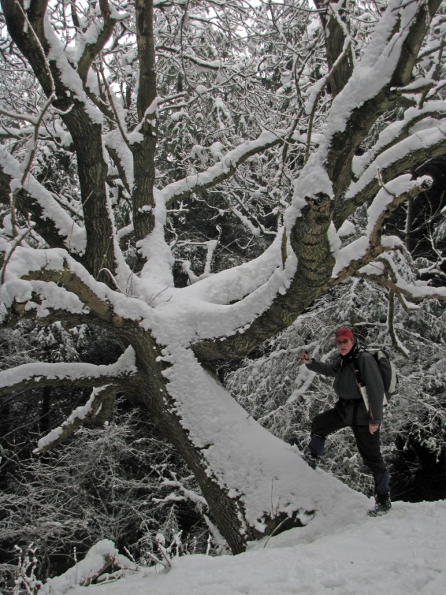
However, all obstacles were not yet overcome; you never know what you might come across or whom you might meet. One of the strangest things I have ever heard of is a book called The Nudist Way by David Martin. The book is for people who like walking in the buff, the nudd, the altogether and followers of this style of walking could cause difficulties for coast to coasters. Would we be able to finish the 200-mile walk if we came across such distractions? I hasten to add I do not have a copy of the book, but according to a review in a walking magazine the book contains pictures of nude people, so this is not a book for the easily shocked. I can’t for the life of me imagine walking in the nude: how do you cope with barbed wire, ferocious dogs, thorn bushes, sunburn, wind-chill, adders, splints from stiles, just to name a few potential hazards? It sounds positively painful to me. I think I will leave the Full Monty for others. It takes all sorts!

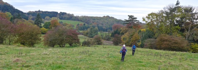
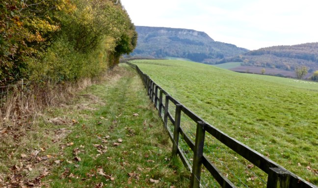
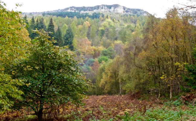
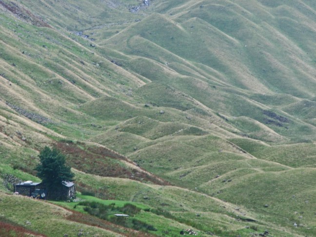
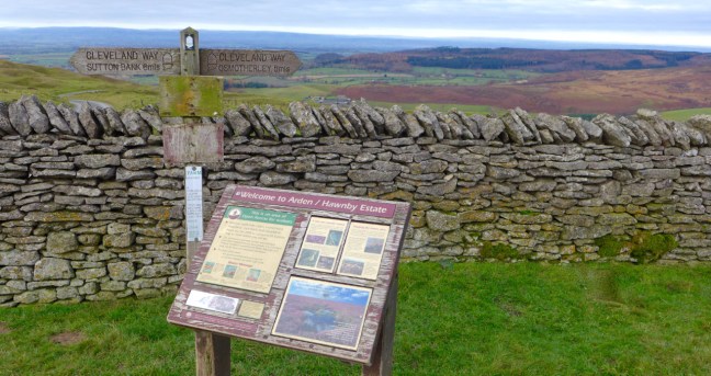
Donning our clothing, we left Lockton Youth Hostel to descend to the secluded Levisham Beck, before following the valley north to reach the magnificent Hole of Horcum. (Photographs taken later)

north-york-moors-feb-09-024

the-crosses-walk_0172_edited-1

north-york-moors-feb-09-025

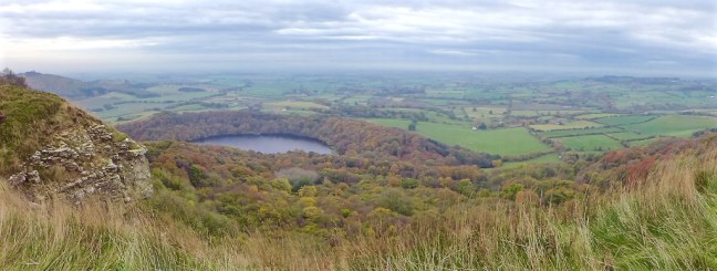
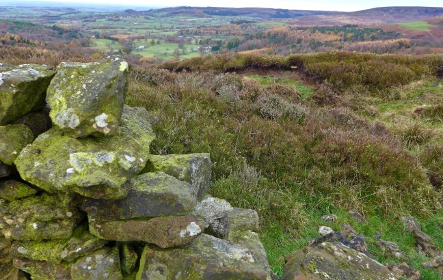
The Hole is very dramatic and atmospheric and changes substantially in appearance and colour according to the time of day as well as the time of year. In winter, snow can accentuate the vastness of the hollow, whilst in autumn, mist can make it grey and eerie.

north-york-moors-feb-09-018

nymoors-hole-of-horcum-bw
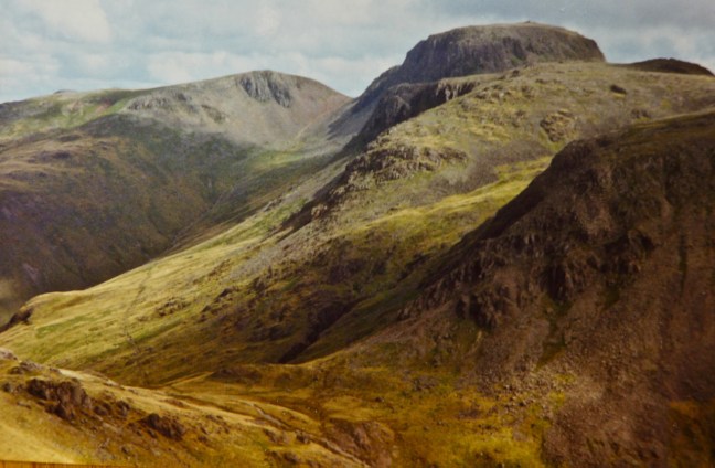
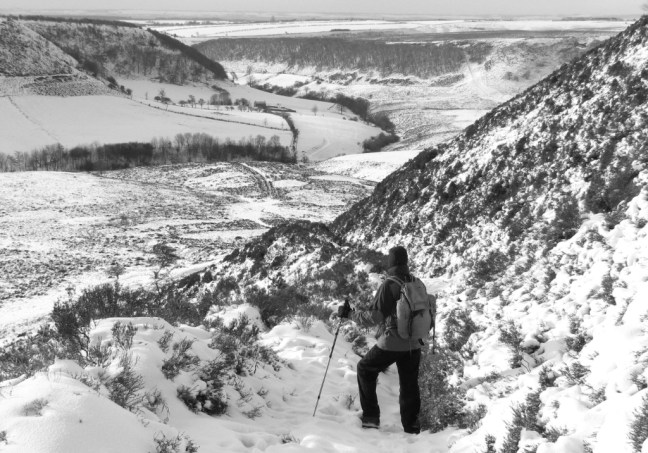
It is best viewed from near the car park at the top of the Hole, a place that can get quite busy with stopping motorists.

yorkshire-2015_7460_edited-1
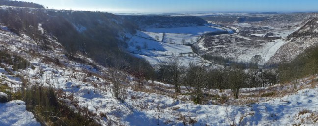
Having walked 186 miles our appreciation of this wonderful scene was much greater than theirs! From here, the moor fell away 400 feet into the huge hollow we had just walked through. According to legend, the hollow was created by ‘a giant’, who scooped a handful of moor and threw it at his wife: he missed and the handful of moor formed Blakey Topping. However, the real reason for the formation of the hollow is that springs between the lower calcareous grit and the Oxford clay eroded away the hillside. The softer Oxford clay eroded more quickly and undermined the layers of rock, which collapsed and enlarged the hollow to its present size. All the soil and clay from the valley has been washed down by the small stream.

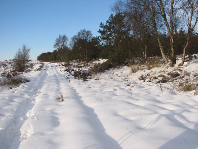
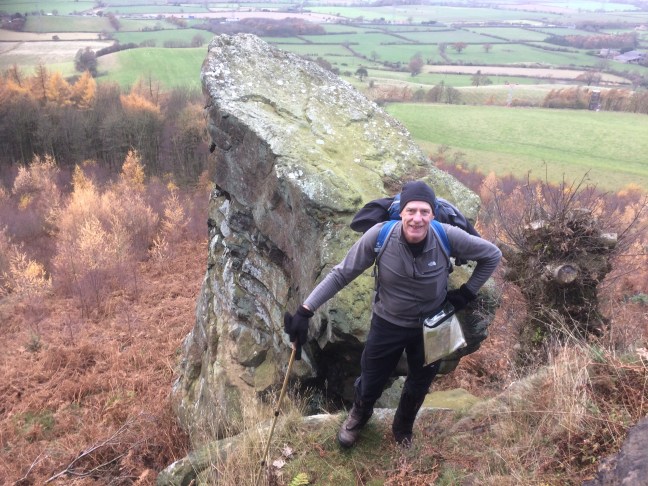
We then followed the curiously named Old Wife’s Way until the National Trust Bridestones Nature Reserve and the unusually shaped Bridestone rock formations were reached.

north-york-moors-feb-09-075

north-york-moors-feb-09-069
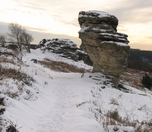
These free-standing rocks of alternating layers of hard and softer Jurassic sandstone have been eroded and weathered by frost, wind and rain resulting in fantastic shapes, some of which seem to defy gravity. I once had lunch under one of these rocks with Penelope, convinced the rock would collapse on us anytime, squashing the Genoa cake she had kindly bought for me. The Bridestones Nature Reserve extends over about 300 acres, containing many types of animals and plants typical of the North York Moors, but also some uncommon and rare species.

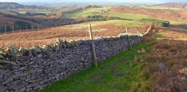
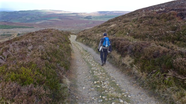
Crosscliff Wood viewpoint was passed, then, on leaving the forest, there was pleasant walking through fields with good views of Troutsdale. A walk along the ‘forest drive’ led to Langdale End. Until 1927 the mail in this area was delivered by Arthur Raine, who covered 24 miles every day except on Sunday. In forty-four years he walked over 250,000 miles and only failed to deliver the mail once when a bridge was washed away in a storm. While on his rounds he killed over five hundred adders, a notch being added to his walking stick for each dead snake.

The big 50_6746

Watch out for adders on the North York Moors. Arthur Raine didn’t kill them all. Should you be bitten by one try and keep calm. Clean the wound and cover it with a dressing. Get to hospital as soon as possible. If possible, the best immediate treatment is to immobilise the bitten limb and apply a bandage firmly and evenly up the whole limb. Alternatively, apply a tourniquet to the limb immediately above the wound, but make sure you can still feel a pulse below the tourniquet (ie in the wrist or foot). Do not release the compression until hospital is reached.

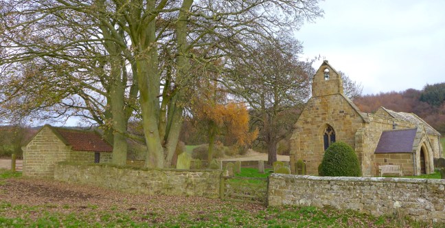
After a steep ascent to a viewpoint near Broxa, then a walk along Broxa Rigg, we reached Hackness village, with its attractive church, lake and hall, all situated in a delightful valley setting. Soon after, Scarborough Castle came into view, the North York Moors National Park being left with regret and, after passing through Scalby, the coast was reached.

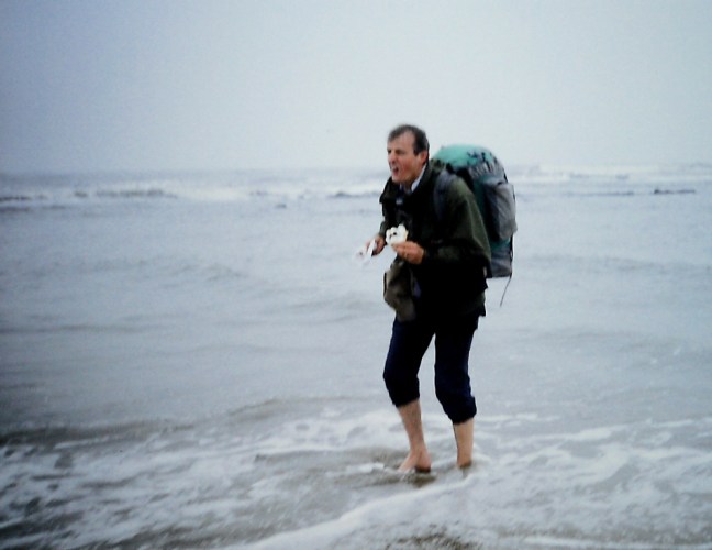
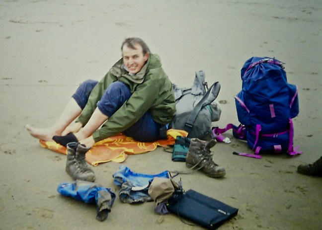
As we made the descent to Scarborough North Bay, I noticed how busy Scarborough was with all the Bank Holiday visitors and tourists. I also noticed Gary was still wearing his black balaclava, making him look like a member of the SAS. After much taunting, he eventually took it off to expose his head to the cold easterly winds. If the winds were cold, the North Sea was freezing, so that when I took my boots off to dip my feet in the sea I was struck down with cramp.

pict0001

Even the taste of the famous Scarborough waffle did little to dispel that this place looks towards Siberia, hence can be one of the coldest places on earth on odd days. Although the town offers plenty of ‘fleshpots’ for those that wish to celebrate in that way, for me a Scarborough waffle and a paddle in the North Sea were sufficient!

200 magnificent miles of walking completed.

pict0001-1

pict0005

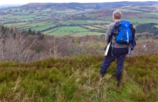
Over a number of years I have tried to understand what makes long-distance walking so enjoyable and memorable. After completing Wainwright’s Coast to Coast and this coast to coast I felt I was twenty-one again despite being twice that age! I was now a ‘New Man’. I think long-distance walking, or even weekend walking, is a very different activity from a day on the hills; it requires additional planning and effort but, as a result, the rewards are so much greater – none more than the affinity you gain of the landscape, and after 200-miles of walking I could truly say I knew some of the finest parts of England, The Lake District, The Yorkshire Dales, the North York Moors and the bits in-between.

In the Conclusion of my book, On Foot from Coast to Coast: The North of England Way, at the end of the North York Moors section, I included the following Wordsworth poem which seemed to reflect my feelings about the walk better than I could ever do:

LINES WRITTEN IN EARLY SPRING

I heard a thousand blended notes,

Whilst in a grove I sat reclined,

In that sweet mood when pleasant thoughts

Bring sad thoughts to the mind


To her fair works did Nature link

The human soul that through me ran;

And much it grieved my heart to think

What man has made of man.


Through primrose tufts, in that green bower

The periwinkle trailed its wreaths;

And ‘tis my faith that every flower

Enjoys the air it breathes.


The birds around me hopped and played

Their thoughts I cannot measure

But the least motion which they made,

It seemed a thrill of pleasure.


The budding twigs spread out their fan,

To catch The breezy air;

And I must think, do all I can,

That there is pleasure there.


If this belief from heaven be sent,

If such be Nature’s holy plan,

Have I not reason to lament

What man has made of man?


‘Wordsworth must be rolling in his grave as he had connections with the Lake District, not the North York Moors,’ my Editor said.

I wrote back, ‘Well he must still be rolling in his grave as you may well be surprised to learn that William Wordsworth has a little-known connection with the Scarborough area: in 1802 he married Mary Hutchinson who was born in Brompton, a village on the Pickering road just outside Scarborough. They were married in Brompton church and there is now a Wordsworth gallery nearby. Who better therefore than Wordsworth to have the last say?’

If it is possible for a book to have a soul then, for me, the Paradise poem and Wordsworth poem were it.
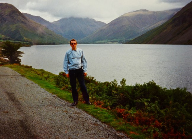
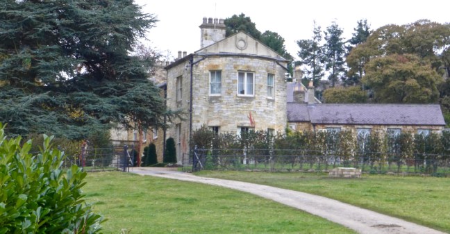
Snow, Get the Thermals Out, Mosaics, James Herriot’s Gate and a Beautiful Stained Glass Window

Post 79: 8 November 2016. Cleveland Circles 5. 

The forecast was for snow at the end of the day so as we drove out towards Boltby on the North York Moors we didn’t expect to see snow, but there it was in the far distance on the highest area of the Moors towards Urra Moor.  Fortunately, it was not in the area in which we were walking on the escarpment of the Moors. However, it was a wise decision to put my thermal base layer on as it was certainly a lot colder than in recent times. There was a feel of winter arrival and autumn departure.

On arrival at the tiny village of Boltby we were surprised to find roadworks making car parking a little tricky. Having parked our car tucked away in no ones way, we got a scowling look from one lady and another asked if we had to park our car there. ‘Couldn’t you park in a car park up the hill?’, she asked.

It was nearly a mile up a steep hill. In such an isolated area it would be a security risk.  We declined her offer!

Neither do you expect to see a kingfisher. Sarah Tate aged 13 chose this Mosaic in Boltby as her contribution to a Mosaic Walk in the area as her father often sees a kingfisher on their farm. Aren’t they lucky!

p1050004

Jessica Tate aged 8 chose a duck as many farms in Boltby keep ducks.

p1050005

Having admired the mosaics it was time to leave the village on a tiny bridge and head up to the Moors by the road, ignoring the public footpath sign.

p1050006

We recall there used to be a mosaic on this tree trunk but it has disappeared.

p1050007

We soon arrived at the point where my North of England Way route joins the path. They will have walked over 142 miles from the Irish Sea to arrive at this point. I remember in 1993, after the heavy rain, it was a challenge climbing up the slippy, muddy path to the escarpment above.

p1050008

Greendale Farm was below us.

p1050009

We arrived at a grand tree and remembered a previous occasion when heavy snow had fallen.

p1050010

mosaic-walk-1_0621_edited-1

We finally arrived at the escarpment and progress became easier and quicker and we could see Boltby, the start of the walk, way below us.

p1050012

After a coffee and banana break at High Barn near the trees in the distance, we arrived at a rather significant gate location.

p1050014

It is the gate location (although the gate has been replaced) that features on the cover of the book The Real James Herriot. Identifiable by the landscape to the right of the gate in the distance.

p1050038

My editor Jenny Dereham was also James Herriot’s.

At High Paradise Farm we came a cross another mosaic. Farms such as this stable horses. 300 years ago races such as the Queen Anne Cup were held at the racecourse near Sutton Bank.

p1050016

Arriving onto open moorland we reached Steeple Cross just beyond the Cleveland Way sign as shown.

p1050017

Lunch was on a tree stump on Cowesby Moor. What better place? Yes the weather was cold (about 2 to 4 degrees)  but with two extra layers (a body warmer and waterproof jacket) of Rohan Clothing on top of the three I already had on, plus lined trousers, I was as warm as toast. I also had two pairs of gloves. A cut off mitten pair for photography and eating and an extra pair to go on top when walking.

p1050018

At Brickshed Cottage a Mallard Drake mosaic appeared. They feed on tiny plants in the water and often nest in trees besides pools. There is such a pond opposite the mosaic.

p1050024

We arrived at Kirby Knowle church, an imposing and impressive building for such a small village. It was built in 1873 for £1300.

p1050025

There is a fine boundary cross in the churchyard.

p1050031

p1050026

There is a very beautiful stained glass window, added in 2014, in memory of Jane Rajan, who by all accounts was a remarkable lady.

p1050027

p1050029

p1050039

p1050042


There was also a reminder that there are folks much less fortunate than some of us and in one of the richest economies in the world have to rely on food banks. A box destined for Middlesbrough.

p1050030

After 11 miles of walking Boltby, the end of our walk, appeared through the trees.

p1050032

Time for some more Mosaic hunting! Hannah Peters chose a dragonfly because in summer they often fly into her conservatory. With large wings and enormous eyes, dragonflies are well adapted as hunters. They feed on almost any insects they can find flying.

p1050034

Mary Peters was inspired  when she glanced out of her window to see her garden covered in molehills. Moles thrive in clay soils which are rich in worms.

p1050035

Before heading home, we had a final visit to Holy Trinity Church, the first chapel being built in 1409 and rebuilt in 1802.

p1050036

p1050037

One thing we have noticed on this series of walks is that the A roads around York to get to the start of our walks are getting increasingly congested. We have therefore decided to leave earlier in the mornings at 7.30am instead of 8.am and, using the ‘Morley technique’, make more use of the B and other smaller roads. We can’t waste time in traffic jams when we have so many walks to look forward to.

On this walk today we saw no other walkers, other than some dog walkers near the villages. Yorkshire is the place to be!

Miles walked  11

Calories burnt 1,300

Average pace 18.39 minutes per mile. 

Fastest 2 mile split at 6-8 miles 17.56 minutes per mile

Back to 1993 – the Penultimate Day – the Return of 007 and the Flying Scotsman or the after effects of Drambuie?

Post 78:  11 April 1993: Day 13 – Lastingham to Lockton Youth Hostel- 11½ miles        

Due to the effects of Drambuie from the night before, we awakened with aching heads. A hearty breakfast made us feel a little better. Then Alison, the barmaid, came over.

‘What would like on your sandwiches, roast beef, pork, ham or cheese?’

‘Do you have any jam?’ I said.

‘Jam?’ she replied in an astonished tone.

‘Yes jam, if you have any? I prefer it on a walk, it is easier to digest and is good for energy.’

‘I’ll go and see,’ she said somewhat perplexed.

After a few minutes she returned, by which time I was feeling guilty for putting her to so much trouble.

‘We have marmalade, but no jam.’

‘Okay, I’ll try that,’ I said. Later on I realised this was a mistake as marmalade does not taste the same on a sandwich as jam does. Great on toast but not sandwiches.

Before leaving we had a photograph session outside the pub.

the-big-50_6781_edited-2 
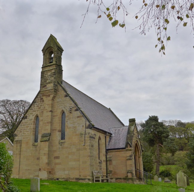
Just beyond the road after the church, we crossed over Hole Beck, to pass St Cedd’s Well. It is covered by a canopy of stone taken from Rosedale Priory. On a board is a Latin inscription reading: ‘Cedd founder of Lastingham Monastery died 664-5 AD, buried on the right-hand side of the altar.’

We soon headed out of Lastingham onto the true North York Moors (photograph taken later).

the-crosses-walk_0078_edited-1

Then to the mist on Askew Rigg. To my relief the walk through Cropton Forest was uneventful as I find forests often require careful navigation.

After the village of Stape, a descent led to the North Yorkshire Moors Railway station of Levisham, in fact 1½ miles before the actual village. A short trip on a train to Grosmont gave us the opportunity to have lunch, including hot soup in the warm confines of the railway carriage.

p1000351_edited-1-1
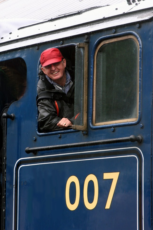
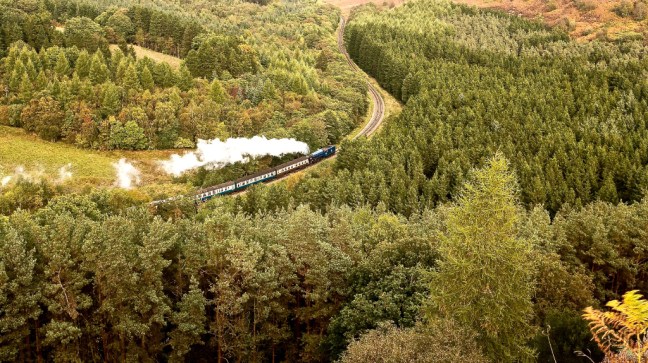
The line was featured in the very popular ‘Heartbeat’ television series and, from the train we admired much of what is now commonly referred to as ‘Heartbeat Country’. Devised by George Stephenson the line was opened on 26 May 1836. It was closed by Beeching in 1965, but is now run by the North Yorkshire Moors Historical Railway Trust.

Little did I know that some years later I would get an opportunity to go on the footplate of Sir Nigel Gresley on this line.

sir-nigel-gresley-bw2

grosmontapril08-072

the-eskdale-way_9149_edited-1

the-eskdale-way_9152_edited-1

And be 007 James Bond. Dreams are made of such!

copy-of-img_32181resized

Also to spend 5 days filming and photographing the epic Flying Scotsman in this epic location.

p1020149

p1020397

After returning to the station, we continued to Levisham village, but were unable to take advantage of the food and drink at the Horseshoe Inn as it was closed. Thinking we had survived an easy day, the final mile of descent and ascent to Lockton changed our minds, especially when we had to walk back for our evening meal. Lockton Youth Hostel was formerly the village school, but lessons are now optional.

There is GOLD in them there hills…

Post 77: 3 November 2106. Cleveland Circles 4 

We started today’s walk from the car park below the White Horse of Kilburn. The first car in the car park at 8.50am.

p1050002

p1040950

p1040954

The 155 steps up to the top of the White Horse were a challenge first thing in the morning. White doves flew across the Horse.

p1040952

My white Volvo could be seen in the car park below.

p1040953

We soon started walking along the escarpment top with the gliding club on our right

p1040957

p1050003

Turner had painted this wonderful view from Sutton Bank.

p1040961

But it was not at its best today.

p1040962

Bikes can be hired from the National Park Visitor Centre.

p1040964

Near the National Park Information Centre there were some interesting fungi.

p1040966

As well as some intriguing carvings.

Leaving the Visitor Centre Gormire Lake came into view, the only natural lake on the North York Moors. Glacial meltwater became trapped in the locality. p1040972

p1040974

The photographs below show me in deep snow (about 5 feet) on 13th January 2010 and today. The sign of 2010 has been replaced by a new one. I haven’t been replaced!

We soon descended off the escarpment.

p1040983

To arrive at Southwoods Hall, which used to be the home of Siegfried Farnon (Donald Sinclair) a notable character in the books of James Herriot.

p1040985

Arrival at Gormire Lake meant lunch.

p1040987

p1040988

With geese gathering in numbers above us.

p1040991

We then stumbled on GOLD.

p1040994

And this strange shaped fungi.

p1040995

Leaving Gormire Lake, we headed back towards the escarpment

p1040997

And Happy Valley!

p1040998

And soon after the end of a super walk.

9.5 miles walked 

1088 calories burnt

19,800 steps

Average pace 18.55 minutes per mile. 

Fastest mile split 17.30 minutes mile 3.