Post 206: 28 October 2017, the COT COMBO WALK. Cockmoor plantation to Crosscliff Viewpoint
After the recent storms related to the after effects of hurricane Ophelia, it was a bit strange to be leaving York at dawn in relative calm. 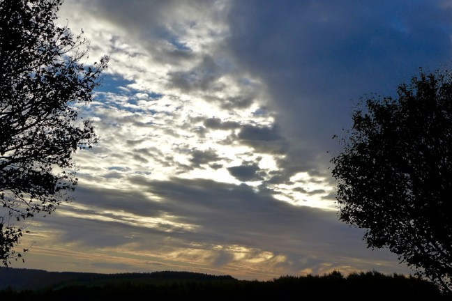
We arrived at the remote car park at Cockmoor Plantation. There were some alternative car parks which were less remote, but that would have cost us £8 on the Dalby Forest toll road. Sid the Yorkshireman and myself think that’s a bit steep for a day out walking. The price does go down to £4 from November, which seems a bit more reasonable.
We started walking at about 8.30am with some concern that our local BBC Look North Paul Hudson had forecast rain all morning. Now Paul does come in for quite a bit of stick from his TV colleagues Harry Gration and Keeley Donovan, in particular about some of his forecasts. I have to question the credentials and authority of any forecaster who is I believe ‘the Mayor’ of a village called Wetwang. On a previous walk through Wetwang we had one of the wettest, and most miserable packed lunches ever on a bench in Wetwang.
Now surely any reliable weather forecaster would called Wetwang? The clue is in the name. Surely a good forecaster is more likely to be the Mayor Scarborough, which is usually called Scarbados by the locals, where the sun always shines?
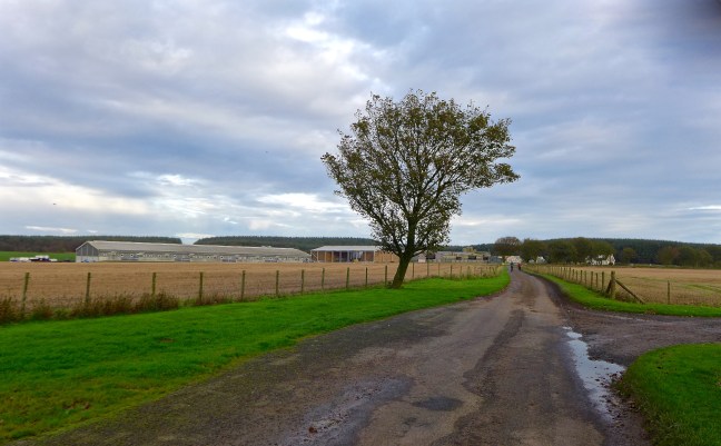
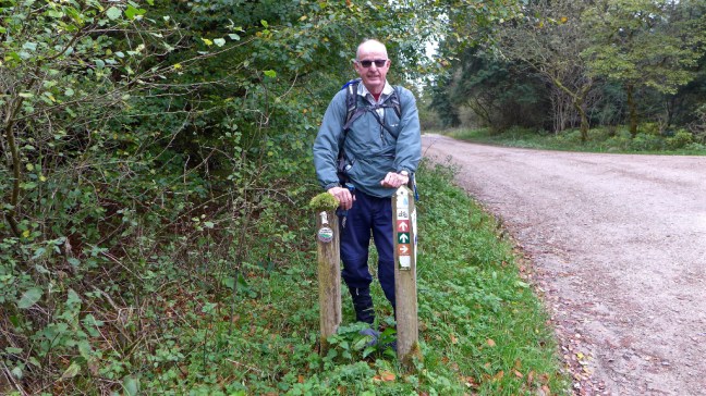
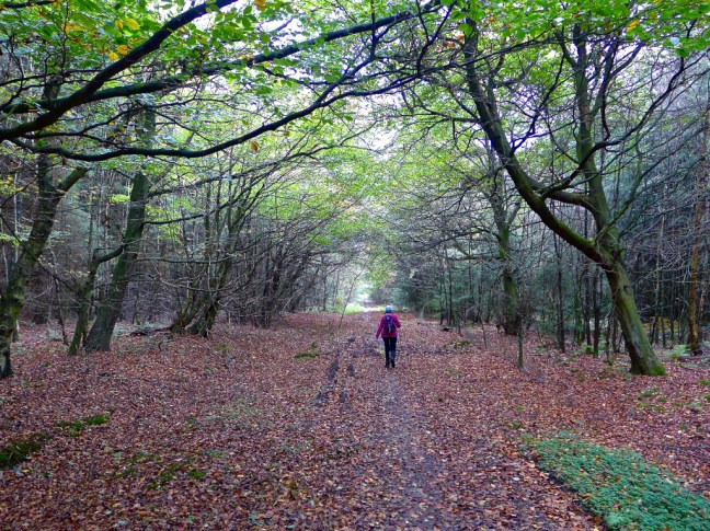
We followed the Tabular Hills Walk to Givendale Head Farm, first along a muddy path and then a quiet lane . With a name like that it sounds like somewhere out of the Hobbit.
Our next hamlet was Jingleby Thorn. With a name like that we were definitely in Hobbit Land.

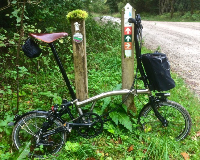
However, we didn’t see any hobbits but we did see a large deer flash across in front of us on a road section. There was no time to get my camera out. I had been cycling in this area not so long ago and had seen three deer on that occasion.
There are many cycling trails in this area with names such as the Ellerburn multi-user, Jubilee blue, Newclose Rigg, Adderstone, Jerry Noodle, Riggs and Dale, Red Route (does this take you to the red light district?) and the World Cup Route so that if you don’t see deer you will almost certainly see cyclists covered head to foot in mud. It must give the same enjoyment as going back to childhood in the outdoors where you could go out and get covered in mud and you just had to hope your Mom had seen the Daz advert on TV and she could get your clothes back to ‘Whiter than White’.
The forecasted rain had still not appeared and we were able to stop at Stain Dale lake with the sun creeping up behind the trees.

We then came across a place that we thought must be for badger meets.


Now when I talk about badger meets I am referring to the Country Walking Magazine 1,000 mile 2017 Walk Challenge. Many of the participants refer to themselves as badgers and meet up at ‘badger meets’. Yes I agree a bit strange. Have I missed something? No doubt when they read this the 17,000 or more ‘badger’ participants will write to me and let me know.
Participating in the challenge, which aims to get you to do more walking, I have now passed 900 ‘boots only’ miles for the year and have to complete 1,000 miles by the end of the year. Watch this space. Having walked the equivalent of more than three times (over 45,000 miles) round the world in my lifetime, you would think at my bus pass age I could be given some time off?
On further inspection the building turned out to be the toilets so maybe is not for badger meets.
Continuing past the National Trust Bridestones Nature Reserve we reached Crosscliff Brow and joined my North of England Way coast to coast walk. The Fylingdales early warning building in a sandcastle shape could just be seen in the distance beyond Blakey Topping. Now if Trump and North Korea start firing missiles at each other this place would probably be the first to know. That is a sobering thought.
Legend has it that the hill Blakey Topping was formed when Giant Wade picked up some soil to throw at his wife, Bell, missed and so created the Hole of Horcum and Blakey Topping. Things were so much simpler before nuclear weapons as if Trump and North Korea lose their tempers the world will be destroyed, not just a hollow and hill created.

Walking a bit further on we did wonder if the missiles had already gone off and no one had told us. This looks a bit like how the world might look.
We eventually arrived at Crosscliff Viewpoint for lunch. Still no rain!


The forecast had been for rain in the morning and then clearing late afternoon. However, with no rain we began to hope that if we ‘yomped’ to the end of the walk we might just escape it. We rejoined the Tabular Hills walk along New Road and kept up a fast pace.
I suddenly had a ‘deja view’ moment having realised that, having not been in this area for years, within the space of a couple of weeks or so, I had passed this spot twice now, once walking and once on my bike.
Somewhat further on and, after being overtaken by quite a few cyclists, we reached a path and were suddenly faced by a high court injunction, not something you come across often in the countryside. We think this relates to likely fracking in the area. It doesn’t actually say that, but reading between the lines that is how we interpreted it.

We continued walking, but maybe next time we pass this way there will be a big drilling hole with fracking protesters chained to trees and anything else they can attach themselves to?
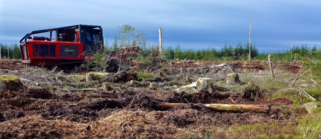
One thing we had noticed was the large number of dykes (or dikes) and earthworks in the area, for example Red Dyke, Givendale Dike, Westmoor Dyke, Snainton Dyke and Dargate Dykes. We were a little unsure as to why? I decided to google it and discovered that dyke is a slang word for describing things associated with lesbianism. It’s amazing what you learn on walks! I searched again. Up came:
- An embankment of earth or rock built to prevent floods
- Chiefly British, a low wall, often sod, dividing or enclosing lands
- A barrier blocking a passage, especially for protection
- A ditch; a channel
- To protect, enclose, or provide with dyke
- To drain with dikes or ditches.
It still doesn’t explain why this particular area has so many or when they were put there, so further research is needed…………………….
We finished walking at about 2pm and still there was no rain. Mr Wetwang had got it wrong!
Miles Walked 12
Steps 23,900
Calories burnt 1,400
Average Pace 17.4 Minutes Per Mile
Elevation Gain 644 Feet
Minimum Elevation 476 Feet
Maximum Elevation 828 Feet.
