Post 204: 17 October 2017, the COT COMBO WALK Levisham to the Bridestones.
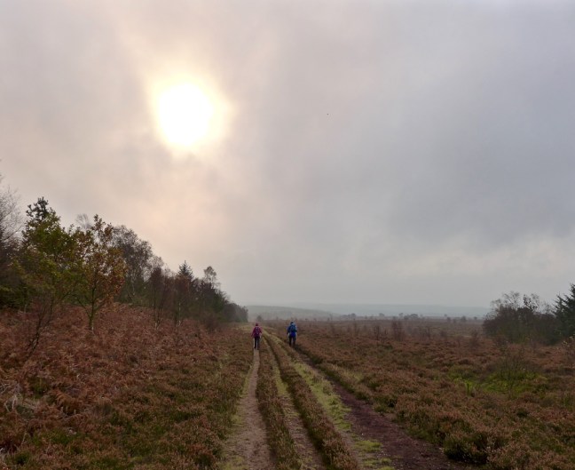
We started walking from Levisham at about 8.15am against a forecast of strong gales in Ireland and the west caused by the hurricane Ophelia. What would happen if the gales changed their course and came east? It was somewhat strange to walk towards the Hole of Horcum in completely calm weather.
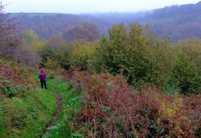
The weather was a bit eerie in the bottom of the hole and quite humid and warm. Presumably it was the warm front of the low pressure on its way. By coincidence, back in 1997 in my book, On Foot from Coast to Coast: the North of England Way, I then described the hole as dramatic and atmospheric and that in autumn mist can make it grey and eerie. It was a deja vu moment.

The moor falls away 400 feet into a huge hollow. According to legend, the hollow was created by a giant who scooped up a handful of moor and threw it at his wife: he missed and the handful of moor formed Blakey Topping. However, the real reason for the formation of the hollow is that springs between the lower calcareous grit and the Oxford clay eroded away the hillside. The Oxford clay eroded more quickly and undermined the layers of rock which collapsed and enlarged the hollow to its present size. All the soil and clay from the valley has been washed down by the small stream.
Climbing down into the hole and up out at the end saps the energy and so we had our banana and coffee break at the top.
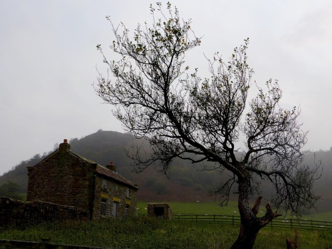
We passed a strange stone just off the A169 with 1975 on it, but we do not know its history.


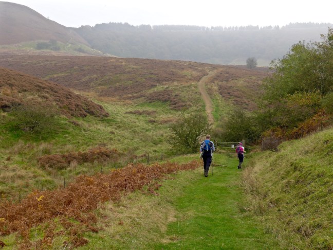
We then turned left along the Old Wife’s Way. As it is a bridleway I decided this would make a good cycling route in the spring but do behave as you could be on camera.

We shortly turned off the Old Wife’s Way towards the Bridestones.

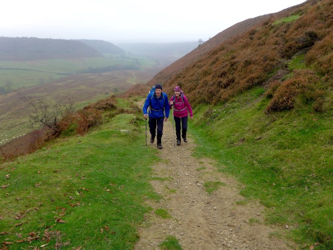
Again there was some eerie light.
The Bridestones.


We decided to stop for lunch at the Pepperpot Bridestone but Sid the Yorkshire Man and Carol were a little nervous about my chosen location under the overhang and came up with stories about rocks collapsing on people. I explained that I had once had lunch there with my friend Penny many years ago and we had survived. She had even brought me a piece of fruit cake and and no doubt they had done the same? No!
To prove my point I posed to show my immense strength, should it collapse. Nothing like tempting fate! Oooh I didn’t notice that big crack!


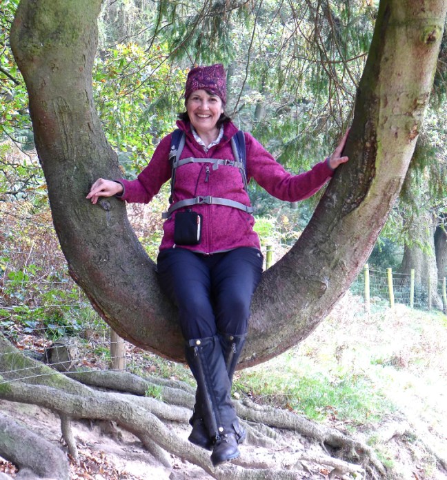
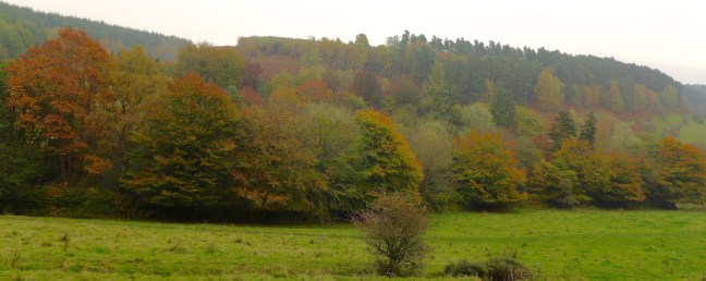
After a delightful lunch with some sun, we descended to Stain Dale where Carol had quite a few tree moments.
It was a delightful walk along the valley bottom and again humid and warm, with no wind.

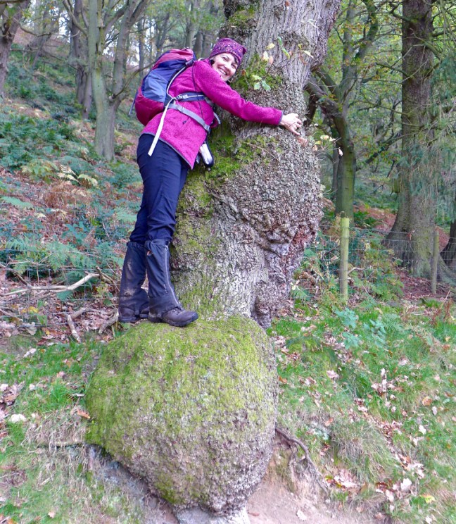
Carol had another tree moment when we climbed out of the valley, just after Staindale Lodge. Fortunately, the tree hadn’t fallen on her head.

After passing the Fox and Rabbit pub and steeply dropping down Cross Dale, we followed the Sleights Track and then the very steep road back to the car at Levisham and the Horseshoe Inn.
Bizarrely, for the middle of October, people were having lunch outside the pub in warmth and calm, whilst in Ireland, Cornwall and the West people were being killed or seriously affected and property damaged by the gales.
What a strange world we lived in.
Miles Walked 12.7
Steps 26,600
Calories Burnt 1,500
Average pace 19.16 Minutes per Mile
Maximum Pace 14.42 Minutes per Mile
Elevation Gain 1,530 Feet (now I know why I was so tired at the end)
Maximum Elevation 929 Feet.
