Post 286: 8 August 2018, Sisimiut
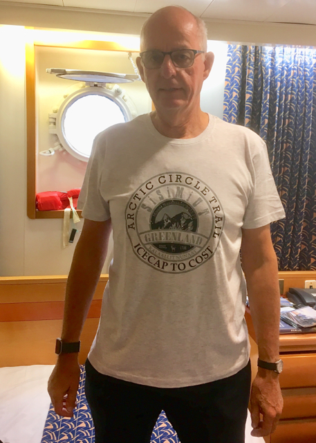
When the ship’s Daily Information Sheet said we would find a wide range of options for being active in nature in Sisimiut, either taking relatively relaxed hikes or checking out activities for hard-core travellers, I hadn’t expected that there would be a 100 mile (160 km) hiking trail through the wilderness of Greenland.  I did buy this T-shirt in Sisimiut as I couldn’t resist the ‘mistake’ in the shirt:
Icecap to Cost instead of Icecap to Coast.
The Arctic Circle Trail can be walked in 7-12 days. There are a couple of basic wooden huts for bad weather, but packing a tent is recommended. Only 300 people hike the trail every year and many are Danes (those Vikings again). It is possible to go days without seeing another walker. The normal season to walk is from June to August. Early in the summer swarms of mosquitos plague the area and mid-August is thought to be better, although they are still around. The only towns are at the beginning and the end of the trail, Sisimiut and Kangerlussuaq both of which I would be going to – albeit by ship! You have to be completely self-sufficient on the trail and mobile phone connection may be non existent. Not a walk for the inexperienced or those of a nervous disposition.
Most walkers start in Kangerlussuaq hiring a taxi to the trailhead and walking west to the coast. I was due to go there the next day by ship, boat and coach. It can snow there even in August!
We arrived at Sisimiut at 8am and it was a bit overcast. Some of the boats had seen better days. 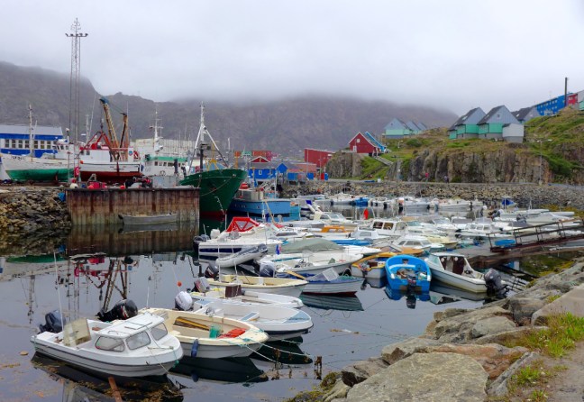

 I then had to decide what to do, given that the ship would depart again at 17.30. Of course I would have done the Arctic Circle Trail if I had been there for 12 days but, given I only had just under 12 hours (that’s my excuse!), a more leisurely hike seemed appropriate leaving the ladies to explore the town. There was a hike organised by the ship to Tele Island where Sisimuit started some 4,000 years ago. The Inuit used it as a hunting ground for many years. This would have included turf hut ruins and a burial ground. From the hike it is possible to see the mountain of Nasaasaq at 2,750 feet (785 metres), which dominates the town.
 However, Cumbria Man and myself decided to work our own route out to the nearby lakes. We left the port area.
 A good place to get one’s bearings on a walk (some would also say in life) is at the church, which is quite prominent in Sisimiut.
  Sisimiut is the second largest city (!) in Greenland with a population of 5,524 (2018) and has some unusual exposed waste disposal due to presumably cost, perma frost and the hard rock hereabouts. There is a small airport.
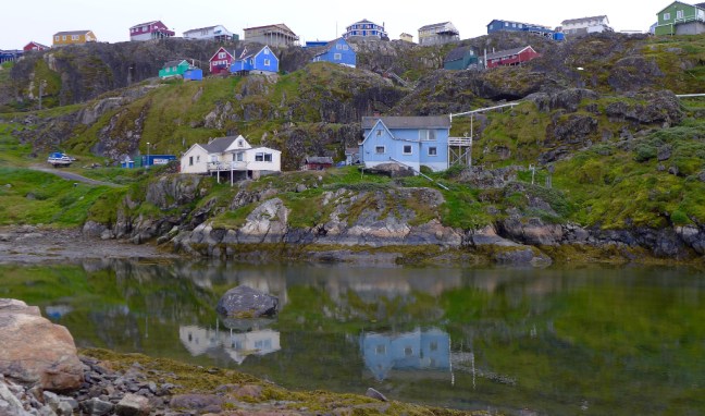
 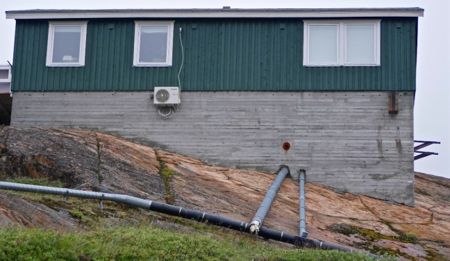 It also has some poorer quality housing with unique bicycle storage facilities.
 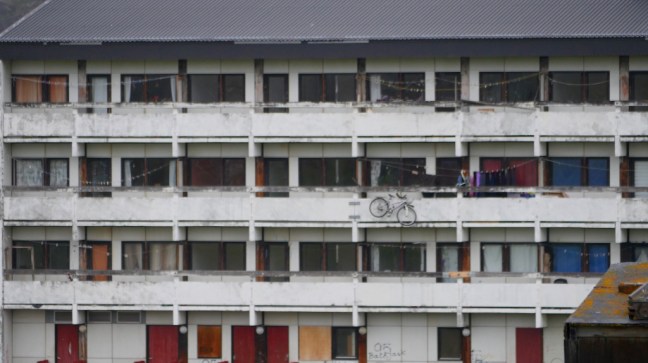 Boats are everywhere, here in front of the museum which specialises in Greenlandic trade, industry and shipping.
 The local cable car is also unique.
  Probably due to expansion of the town, the cemeteries with their characteristic wooden crosses are very close to the houses.
 Dogs, boats and arctic cats are ‘parked’ outside houses.
 We assumed these stone and turf units were not used for human habitation.
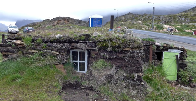
 Fishing and fish processing is the prominent industry in Sisimiut.
 Hunting is also important to some of the local livelihoods, mainly seals, walrus, beluga whale, narwhale, reindeer and muskoxen. Indeed on our walk we heard a number of gunshots.
The Greenlandic flag is in evidence here and it was adopted on 21 June 1985 some years after home rule from Denmark was granted in 1978. It was designed by native Greenlander Thue Christiansen. The white strip represents the glaciers and ice-cap which covers more than 80% of the island. The white semi-circle represents the iceberg and pack ice. The large red part symbolises the ocean. In other interpretations the circle is seen as representing the rising and setting of the sun and the midnight sun and polar night (total darkness). 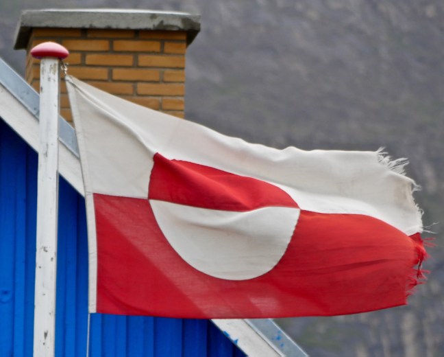 Leaving town we passed the first lake.
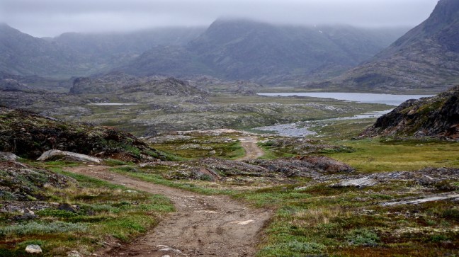


Rocks feature as art extensively in and around the town. 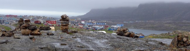


We eventually got away from the town to more rugged countryside and our second lake. We thought we saw an arctic fox, but couldn’t be 100%. 
 We then met a young Danish couple walking from the mountains who had been on a 12 day hike to the ice-cap, being totally self-sufficient, even to the extent of having solar panels on their rucksacks! Maybe they were just finishing the Arctic Circle Trail.
After visiting the lake we passed through the area where the husky dogs are kept.


 The puppies were very friendly and are allowed to roam free for up to 4 months.
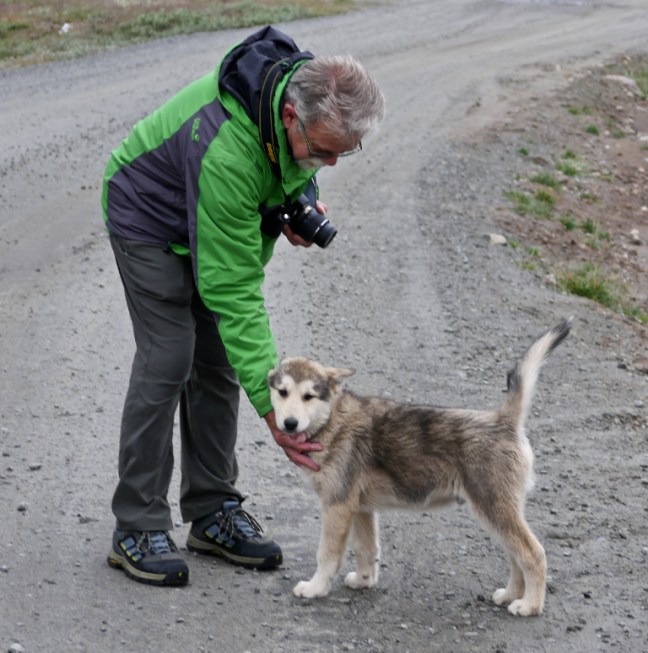 I think this may be a young snow bunting which we saw in the area. We also saw white adults.
 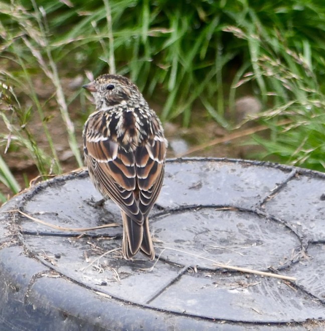 Also rooks are quite common.
 It is hard to believe that, despite all the ice and cold, there are 500 plant species within Greenland, 22 species of trees in the Sisimiut area and 63 species of herbs in central Greenland.
On my next blog I head to the start of the Arctic Circle Trail, a stunning UNESCO World Heritage site and the Russell Glacier descending from the ice-cap….
