Post 235: The Inn Way, 8 February 2018, Black Holes to High Banniscue
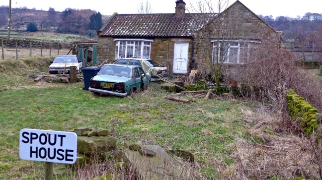
On the B1257, car parking for where we wanted to start the walk was a bit limited. There was a pull in near Spout House and as it seemed unoccupied we decided to park there. It was only when we got back we realised that it was occupied.
 The present Sun Inn next door was opened in 1914.
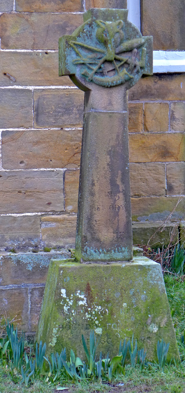
 To the right of the pub is the gravestone of Bobbie Dowson, a famous local huntsman as well as cricketer of the Scout House team, who died in 1902. The local vicar refused to have the headstone in the graveyard because of the hunting motifs carved into it.
There is a much older Sun Inn to left of the current Sun Inn. This cruck-framed cottage was built in 1550 and is reputedly the oldest house in the North York Moors. It was originally a farm tenant’s dwelling, before becoming a licensed inn in 1714. For 200 years it provided refreshments to locals and travellers before closing in 1914 when the new and current Sun Inn opened. In the 1970s the National Park Committee restored the old Sun Inn as it was falling down. Many of the original features, fixtures and fittings remain. We soon started following a route to grouse butt 3 and 7, which is where we finished on The Inn Way on Sunday. We passed by Hollin Bower Farm and above Low Crosset Farm, it getting cooler and more misty as we ascended.
  An ascent onto the open moorland followed where the route finding got very tricky to say the least. The bridleway we were following soon disappeared and Sid the Yorkshireman headed off across the heather after leaving a track which was not on my older map.
 Confusing or what?
This got worse when we found a triangle of tracks, which was on Sid the Yorkshireman’s newer map but not mine.
In such a situation and with the mist coming down I got my compass out to try and determine where we were. The grouse butts should have been in sight but not only are they hidden from the grouse they were also hidden from us.
Just as we were about to give up and head back along the track we came across grouse butt 4 and 6. More confusion as to why there were two numbers? We worked out that the number used depends on which way you are shooting. I vaguely remembered the one we wanted just after Carol had fallen was 3 and ?
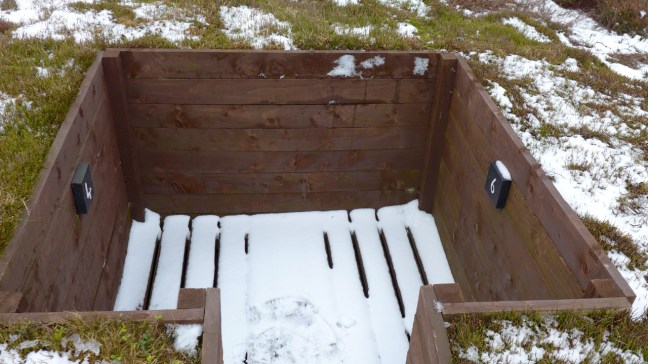 We headed along the line of the grouse butts and found 3 and 7 and the faint path nearby on which Carol had fallen (see previous post 234). It was time to regroup for the second time in this butt and have a banana and coffee break.
Eventually we resumed on The Inn Way route before it disappeared again and so we took the clear track instead which ran parallel with it. We soon dropped below the mist with fine views along Bilsdale. Our next destination was Easterside Hill in the very far distance in the second photograph! 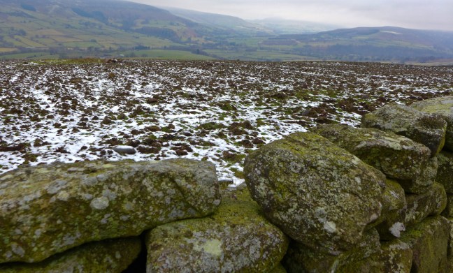
 After a long muddy descent and ascent and lunch, we reached Low Ewe Cote farm which, instead of ewes, had a herd of cows in the yard.


The farmer kindly came out to escort us through the yard. We got talking and he explained how he was making the holiday accommodation below which would be placed on his son’s farm further down the valley, in the process saving himself thousands of pounds. He promised to let me have further details when it was finished. In the meantime you can find it on Facebook under Lockton Shepherd Huts. Should be a great place to stay!
 We continued to High Banniscue Farm where we turned off The Inn Way to find a route back to my car. We passed Easterside Hill.

 Eventually we reached Crow Nest surrounded by snowdrops.
 Then a descent and ascent along a B.O.A.T, with Bumper Castle below us, led to a grouse deciding which route to follow at the junction of the B.O.A.T and bridleway!
  The B.O.A.T descended to Malkin Bower.
 With fine views along Bilsdale
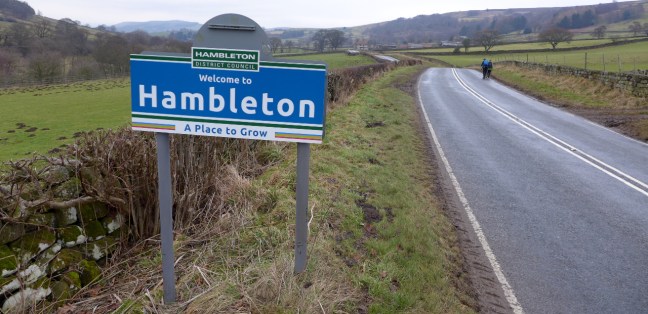
 We then entered Hambleton, which is a place to grow! Being over 6 foot 2 inches do I really want to grow any more?
 Does the sun shine in Bilsdale – well there are two Sun Inns. But no the sun didn’t shine today. It was claggy all day.
Miles Walked 13.1
Steps 28,000
Calories Burnt 3,700
