Post 127: 7 March 2017, Cleveland Circles 19
We left York at 7.30am with the prospect of fine weather and, on reaching the coast at Sandsend, I couldn’t resist a quick photograph. There was a warmth in the air we had not had since the autumn.
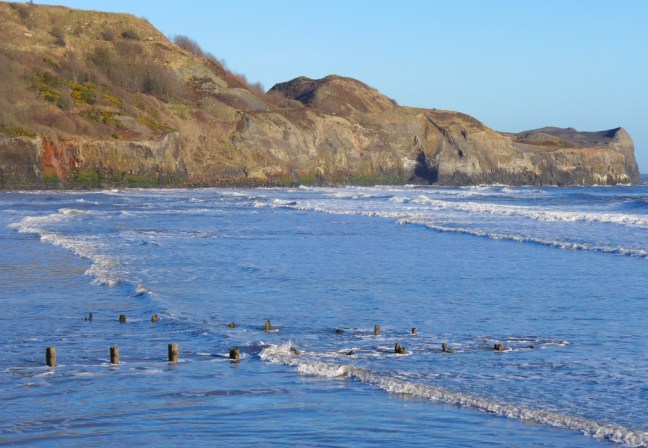
Meteorological spring started on 1 March. This coincides with our Gregorian calendar making it easier to compare seasonal and monthly statistics. Spring consists of March, April and May, Summer consists of June, July and August and Autumn consists of September, October and November and Winter consists of December, January and February. However, after the weather we had this day, we decided that this was the first real spring day.
We arrived at Runswick Bay top and started walking at about 9.00am. Our route would take us inland and then return us to the start via the coast. We soon passed an unusual garden at Hinderwell,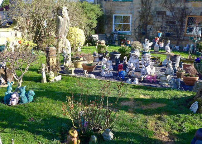
followed by a Wesleyan Chapel built in 1873 and no doubt, due to its success, a Sunday School built in 1886.

Arrival at St Hilda’s Church reminded us that this was the start of 40 mile St Hilda’s Way, which we completed in 2015. A guide book of the route from Hinderwell to Whitby was written by John Eckersley and can be purchased from his website http://www.johneckersley.wordpress.com. All proceeds, after costs have been paid, go to Christian Aid and the Whitby Churches’ Mission.

The ‘well’ in the churchyard, which is a spring not a well, was reputably discovered by St Hilda on a journey along the coast, when she and her companions became tired.
St Hilda lived from 614 to 680 and she developed centres of prayer, work, study and art and founded a monastery north of the River Wear and the double monastery of women and men at Whitby. 
Walking inland we went through some delightful woodlands, including a nature reserve at Oakrigg Wood with its many oaks. It is quite shocking that people leave litter in these areas, even right next to a litter bin.

The settlement of Dalehouse, nestled below Boulby Mine, came into view.

It was a surprise to come across Shaun the Sheep who must have popped over from the Yorkshire Dales for a holiday on the nearby caravan site.

It was quite a gathering as the Moonins were here too.

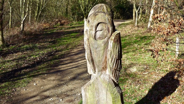
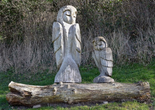
And owls.
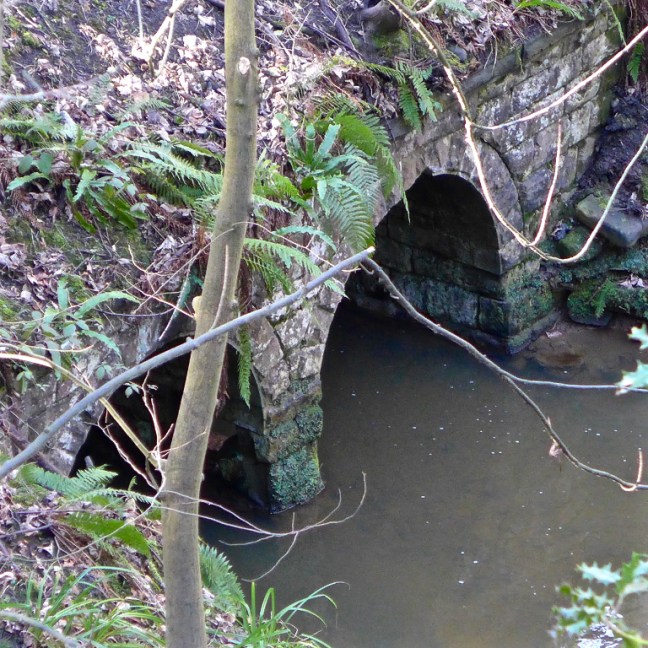
Entering Mines Wood we came across a lot of industrial archaeology, relating to Grinkle ironstone mine. Mining has been dangerous in the past and remains dangerous to this day.
A by-product of ironstone mining was shale and this used to be deposited locally. It is believed that this culvert on Easington Beck blocked (the mine was open between the late 1800s and early 1900s) as a result of shale deposits and flooded Grinkle Mine, killing a deputy.
In April 2016, at nearby Boultby potash mine, miners were caught up in an underground fire and 11 workers were injured. As recently as June 2016, a 56 year old miner from Easington was killed by a gas blow out (an unexpected sudden and powerful release of gas). In December 2016 there was some flooding of the mine and pumps had to be used. The mine is the second deepest in Europe.
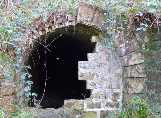
This information board, which we came across later at Port Mulgrave, shows a train tunnel (middle picture) related to the former Grinkle Mine. Port Mulgrave is 3 miles away from Grinkle Mine and the trains ran until 1917, carrying ironstone to the port.

Look carefully and you can see a speck of light showing the exit from the train tunnel.
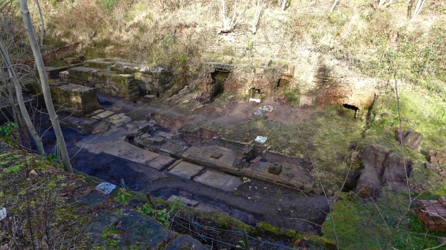
Building remains, relating to the ironstone mining, are being excavated.
Tunnel entrance.

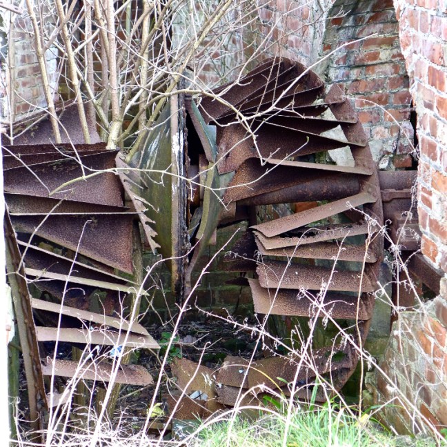
One of the fans for the mine.
It is unusual to find stepping stones with, on this occasion, no water under them. The tarmac below is an outflow from a field near Boultby Mine, which presumably floods from time to time.

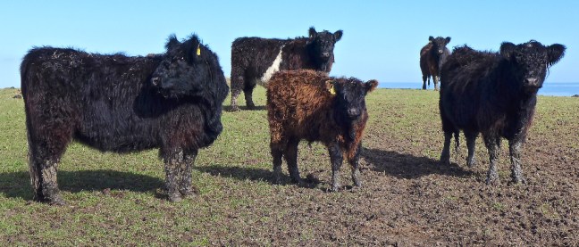
We left the mining area to head for the coast passing some very noisy and nosey cattle.
We soon passed the platform investigating potash deposits in the area

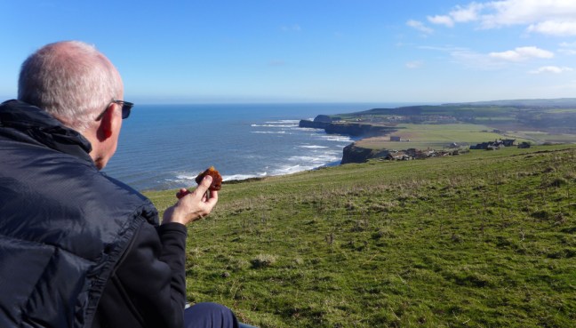
The views ahead towards Staithes were attractive and we started looking for a lunch stop.

It didn’t take long and I had an excellent high view ahead and a foot rest. There were one or two dog walkers passing and the dogs not on leads tended to head straight for our lunches. They had no chance with mine.

The platform was now much nearer to my left. 
Continuing after lunch, spray rose from the sea.

A delightfully situated cottage was passed.

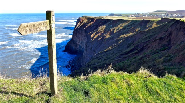
It is a good idea to take note of the signs.
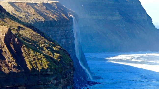
Looking back we could see the outfall of waste water from the mines. 
The road to nowhere was soon passed.


Our next port of call was delightful Staithes, which dates from the seventeenth century and was based on smuggling, fishing and mining.
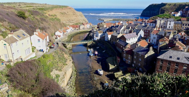
After some years of decline, Staithes seems to have improved considerably as a centre for artists, tourists and photographers.


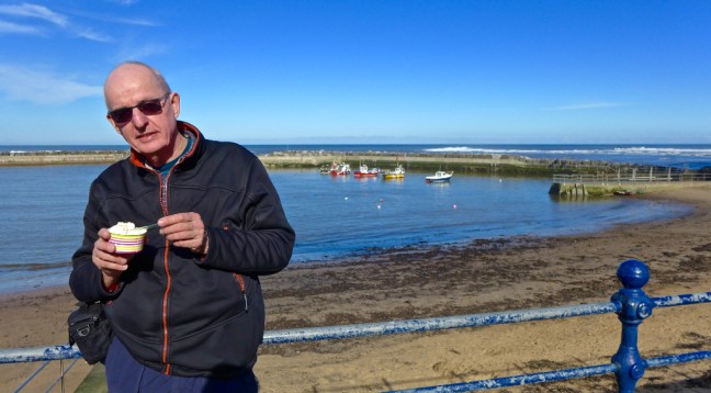
The lovely spring weather was a good excuse for our first outdoors ice-cream.
The young James Cook arrived in Staithes in 1744, aged 16, to be apprenticed to William Sanderson, a haberdasher and general store keeper. After 18 months he moved to Whitby. William Sanderson’s shop was dismantled after a storm in 1812 and the materials were used to build the existing buildings in Church Street as below. It never was Captain Cook’s Cottage, despite the plaque.

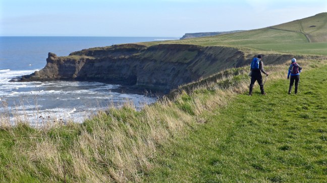
We ascended out of Staithes to fine views looking back.

A £3.5 million harbour reinforcing scheme was carried out some years ago to prevent storm damage. Like Runswick Bay, Whitby, Robin Hood’s Bay and Scarborough, boulders of ancient gneiss rock from Norway were shipped over to reinforce the harbour walls.


A view of Old Nab
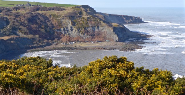
Rock slips have closed access to the beach at Port Mulgrave. In the 19th century there used to be a wooden jetty here to enable ironstone to be brought on the narrow gauge railway from Grinkle Mine to then be shipped north to Jarrow.
Care needs to be taken here to follow the correct coastal path! Some of the older ones are disappearing over the cliff edge.

We arrived back at Runswick Bay top at about 3pm.

With superb spring weather, fine woodland walking, dramatic coastal scenery, scenic ports and interesting industrial archaeology this was one of, if not the best, walks so far on Cleveland Circles.
Spring had Sprung!
Miles Walked 12.3
Steps 26,506
Calories Burnt 1,400
Average Pace 17.5
